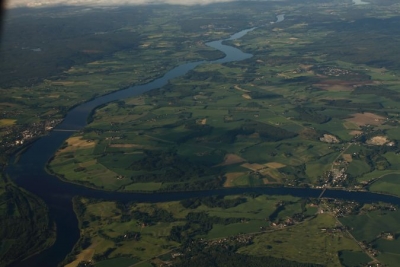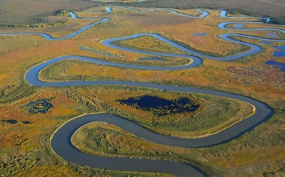
A meander is a curve or bend in a river. It forms when the flow of water wears away the land on one side of the river, then dumps the broken-down rocks this creates on the other side, increasing the area of land there.
A meander is produced by a stream or river as it erodes the sediments comprising an outer, concave bank (cut bank) and deposits this and other sediment downstream on an inner, convex bank which is typically a point bar. The result of sediments being eroded from the outside concave bank and their deposition on an inside convex bank is the formation of a sinuous course as a channel migrates back and forth across the down-valley axis of a floodplain. The zone within which a meandering stream shifts its channel across either its floodplain or valley floor from time to time is known as a meander belt. It typically ranges from 15 to 18 times the width of the channel. Over time, meanders migrate downstream, sometimes in such a short time as to create civil engineering problems for local municipalities attempting to maintain stable roads and bridges.
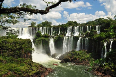
Picture Credit : Google