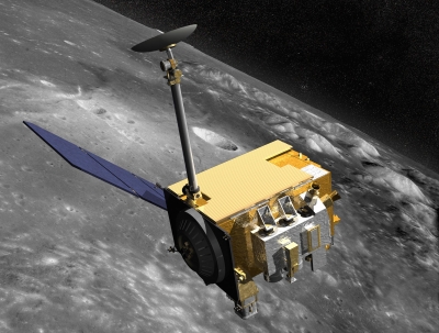
The Lunar Reconnaissance Orbiter (LRO) was launched with the Lunar Crater Observation and Sensing Satellite (LCROSS) on the first U.S. mission to the Moon in over 10 years. Both were part of NASA’s now-canceled Lunar Precursor Robotic Program.
LRO’s primary goal was to make a 3D map of the Moon’s surface from lunar polar orbit as part of a high-resolution mapping program to identify landing sites and potential resources, to investigate the radiation environment, and to prove new technologies in anticipation of future automated and human missions to the surface of the Moon.
LRO gathered information on day-night temperature maps, contributed data for a global geodetic grid, and conducted high-resolution imaging. The spacecraft paid particular emphasis to the Moon’s Polar Regions where scientists suspected there might be water in the permanently shadowed areas. (In 2018 a team of scientists directly observed definitive evidence of water ice on the Moon’s surface. At the southern pole, most of the ice is concentrated at lunar craters, while the northern pole’s ice is more widely, but sparsely spread.)
Picture Credit : Google


