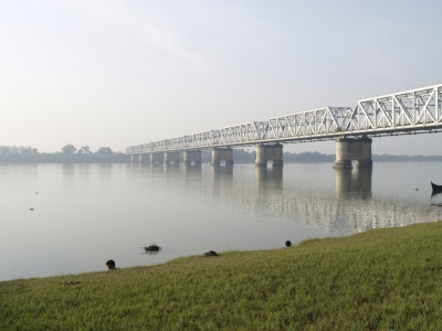
The Narmada River, also called the Reva and previously also known as Narbada (Nerbudda). It is also known as “Life Line of Madhya Pradesh and Gujarat” for its huge contribution to the state of Madhya pradesh and Gujarat in many ways. Narmada rises from Amarkantak Plateau in Anuppur district Madhya Pradesh. It forms the traditional boundary between North India and South India and flows westwards over a length of 1,312 km (815.2 mi) before draining through the Gulf of Khambhat into the Arabian Sea, 30 km (18.6 mi) west of Bharuch city of Gujarat.
The Narmada River in central India is the fifth largest river in the Indian subcontinent. It forms the traditional boundary between North India and South India and flows westwards over a length of 1,312 km (815.2 mi) before draining into the Arabian Sea. It is one of only three major rivers in pensinsular India that runs from east to west. It is also the only river in India that flows in a rift valley flowing west between the Satpura and Vindhya ranges.
In this orthorectified image, the Narmada can be seen connected to a large reservoir that is part of the Indira Sagar Project, a multipurpose key Project of Madhya Pradesh on the Narmada River at Narmadanagar in the Khandwa District of Madhya Pradesh. The construction of main dam started in 1992. Total catchment area at the dam site is 61642 km2.
Picture Credit : Google


